© Jose Rains

© Consell de Mallorca

© Stefan Kunze

© Santuari de Lluc

© Jose Rains
© J. Rains

© Consell de Mallorca

© Jose Rains

© Jose Rains
© Jose Rains
Ruta de Pedra en Sec GR221 – Dry Stone Route
Popular eight-day trek up the mountainous western side of Mallorca
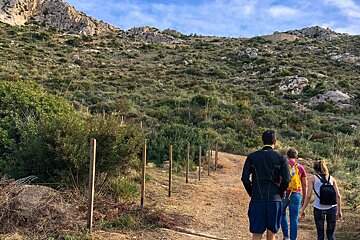
This famous walk runs from Port d'Andratx, in the south-west of Mallorca, all the way to Port de Pollença, in the north-west, following ancient cobbled paths through the UNESCO World Heritage Site of the Serra de Tramuntana mountain range.
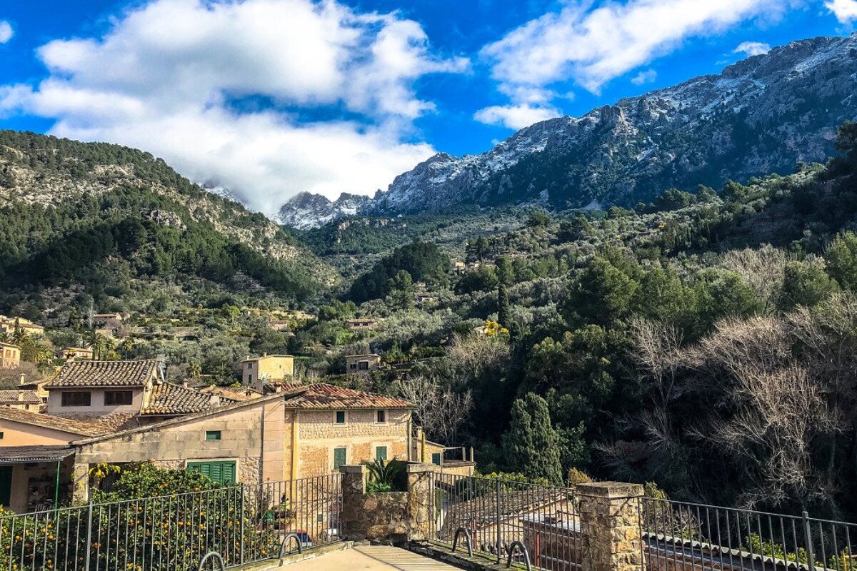
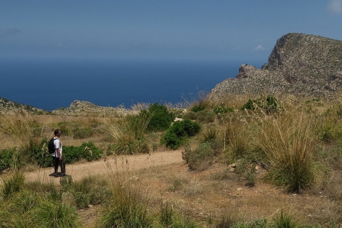
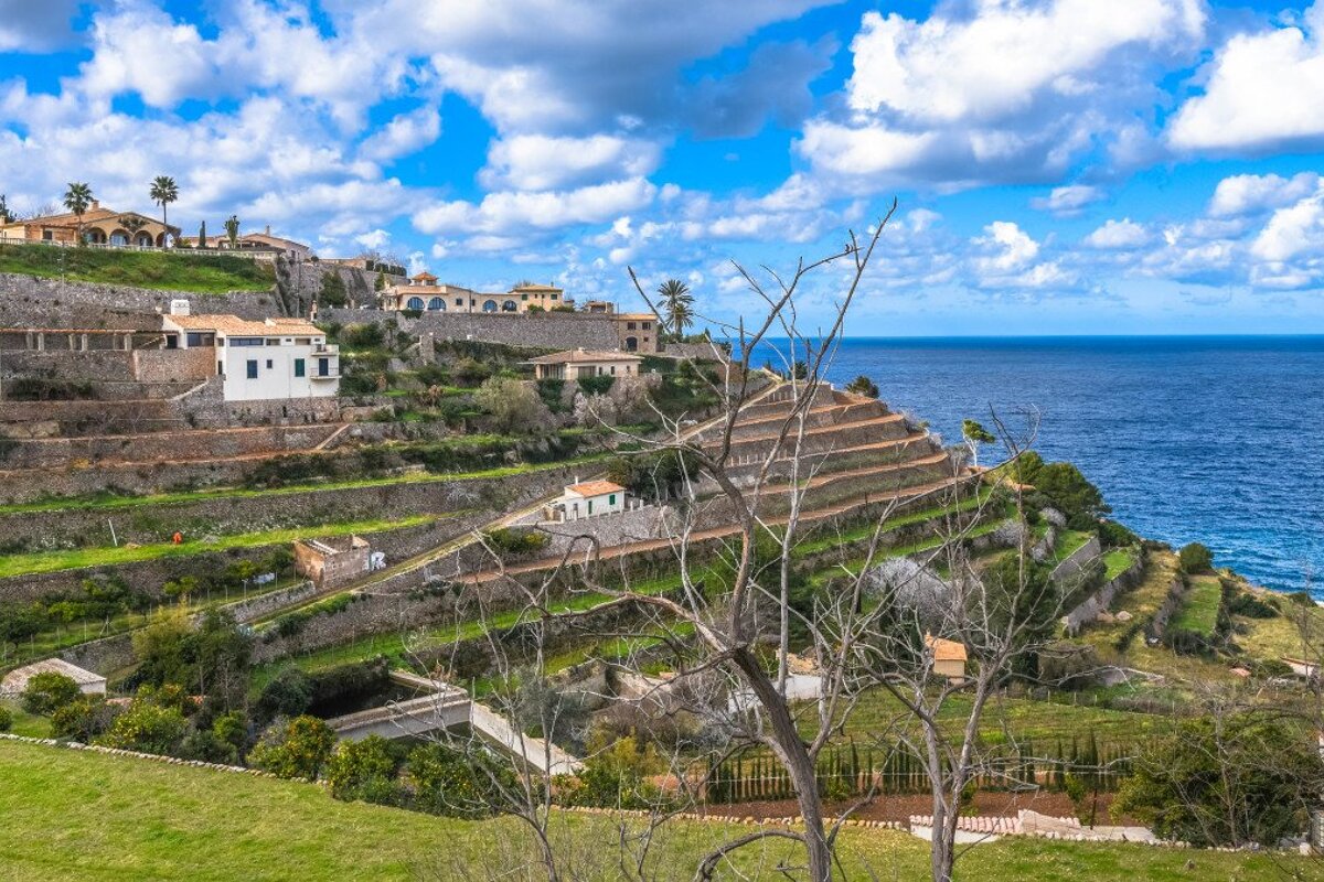
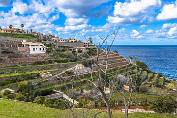
The most iconic hiking route in Mallorca, the 'Ruta de Pedra en Sec' or Dry Stone Route follows 168.4km of signposted trails through dry stonework terraces where olive trees have been growing for centuries, mountain villages, pine and holm oak forests and olive groves, also offering breathtaking sea views.
The main route links the villages of Estellencs and Esporles for a total of 91.7km. There are another 76.7km of variants going through picturesque spots like S'Arracó, Puigpunyent, Orient, Cala Tuent or Puig de Maria. The highest point is the Coll de ses Cases de sa Neu, at just over 1200m.
A guide is recommended for this route, please see our Guides & Tours page to book one. You can also book your refuge online. For further information with maps for the route, you can visit the official website or download the guide for the GR221 Ruta de Pedra en Sec with detailed descriptions of each stage.

The Dry Stone
The dry stone building technique has been employed since ancient times in Mallorca. The 'margers' were the local dry stone wallers and had extensive knowledge and skills. Footpaths, roads, walls, terraces for agricultural land and canals for mountain streams have been created using dry stone walling in the Serra de Tramuntana. There are also charcoal and lime kilns, snow houses for storing ice and even ovens still standing along the route.

The main stages
The 'Ruta de Pedra en Sec' is comprised of eight stages, two of which are still in the process of being signposted.
Stage 1: Port d'Andratx to Coma d'en Vidal
One of the variants, not pertaining to the main route, this stage takes walkers from Port d'Andratx, on the southwestern coast of Mallorca, to the village of Coma d'en Vidal where there's a refuge. This pathway is partially still a work in project and there are sections that haven't been signposted yet.
Stage 2: Estellencs to Esporles
A 14.5km hike, with 631m of elevation gain, this stage takes walkers from the terraces of Estellencs and Banyalbufar to the mountain town of Esporles along the foothills of the Puig de Galatzó (1027m). The path sometimes goes on the Ma-10 and Ma-1100 roads, where special care should be taken. Highlights on the route, apart from the villages of Banyalbufar and Esporles, include the estates of Es Collet, Son Serralta, Es Rafal and Sa Granja, some of which date back to medieval times, as well as the Son Sanutges gypsum kiln and the dry-route path of Camí des Correu.
Stage 3: Esporles to Can Boi
The second of the non-signalled itineraries, this stage begins in the centre of Esporles and ends at Can Boi, in the municipality of Deià, where there's another refuge.
Stage 4: Can Boi to Muleta
With 10km and 362m of elevation, the stunning landscape between the Mediterranean sea and the mountains of Es Teix dominates this stage. Crossing the charming town of Deià, the path goes through olive groves on dry-stone terraces to the former telegraph station of Muleta, now turned into a refuge. Again, some of the route is on the Ma-10 road. Highlights include the estates of Son Coll, Can Prohom and Muleta Gran, as well as the Camí des Grau dry-stone footpath and a lime kiln.
Stage 5: Muleta to Tossals Verd
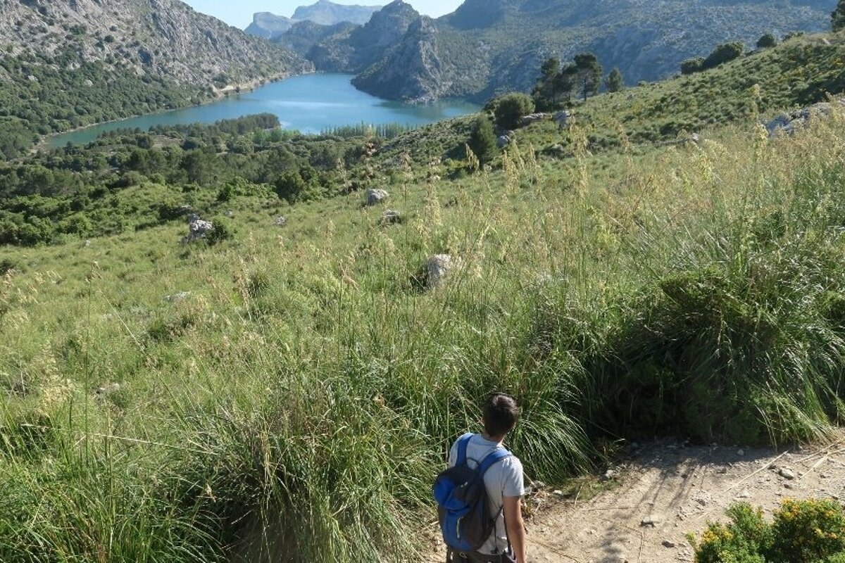
Surrounded by the highest peaks in Mallorca, this stage of almost 28km and over 1000m of elevation gain is one of the most challenging of the Dry Stone Route. It goes into Sóller, one of the most beautiful towns in Mallorca, and through the village of Biniaraix before leading walkers onto the mountain path to Cúber, ending at the refuge of Tossals Verd. The orange groves of Sóller are worth a stop, as is the town itself. Other highlights include the Barranc de Biniaraix, a ravine with extensive dry-stone terraces and paths, and the Cúber reservoir
Stage 6: Tossals Verd to Son Amer
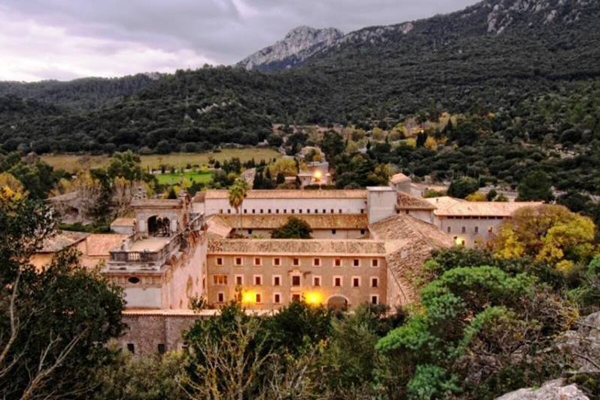
Venturing deep in the mountains, this stage comprises almost 16km and 869m of altitude gain. Fountains, mountain streams, springs, holm oak woods and dry-stone walls are dotted along the path, in a stage that ends at the Son Amer refuge, near the Lluc Sanctuary. This building and its surrounding are well worth a visit, as are the snow houses of Son Lluc, Galileu and Son Macip.
Stage 7: Son Amer to Pont Romà
This stage follows the trail that pilgrims have taken since the 13th century to visit the Sanctuary in Lluc. The shaded, forested path, which also has a small section on a road, passes by old farmsteads like Binifaldó and Muntanya, as well as ancient trees like the Alzina d'en Pere – a centennial holm oak. After 17.4km and only 189m of ascent, the trail ends at the Pont Romà refuge, in Pollença.
Stage 8: Pont Romà to Port de Pollença
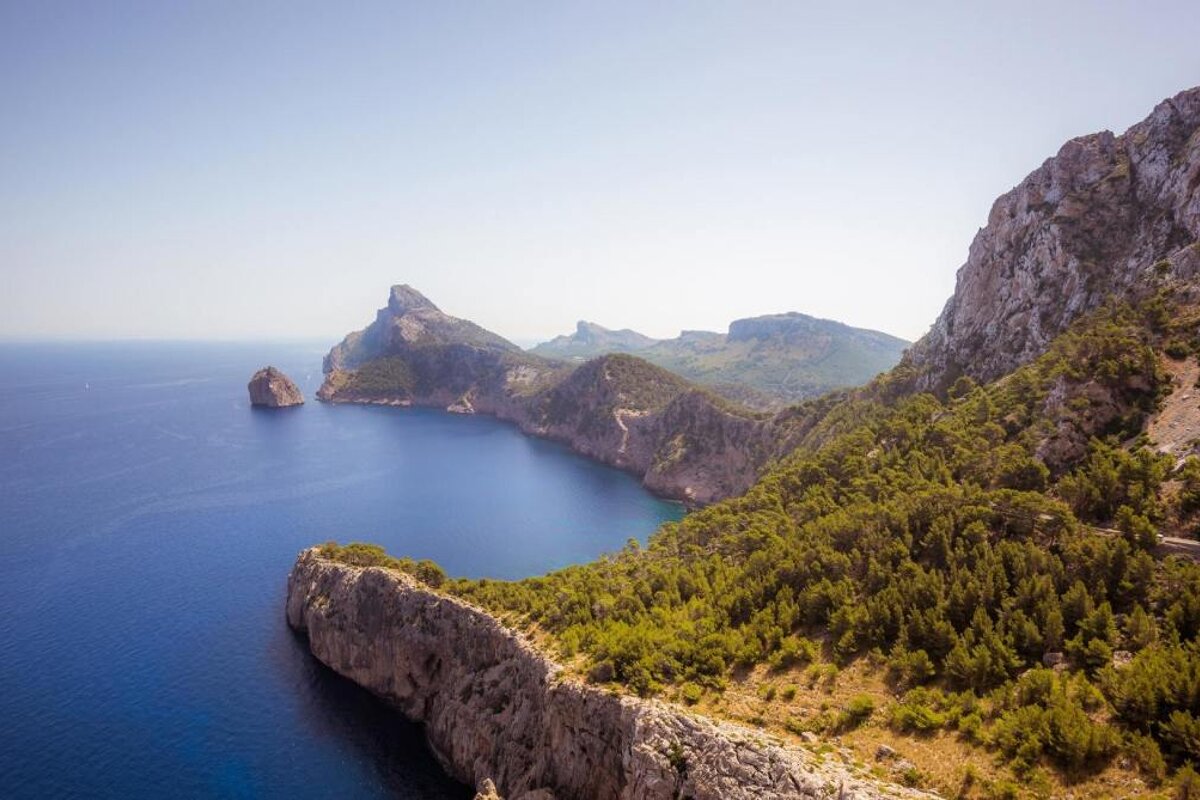
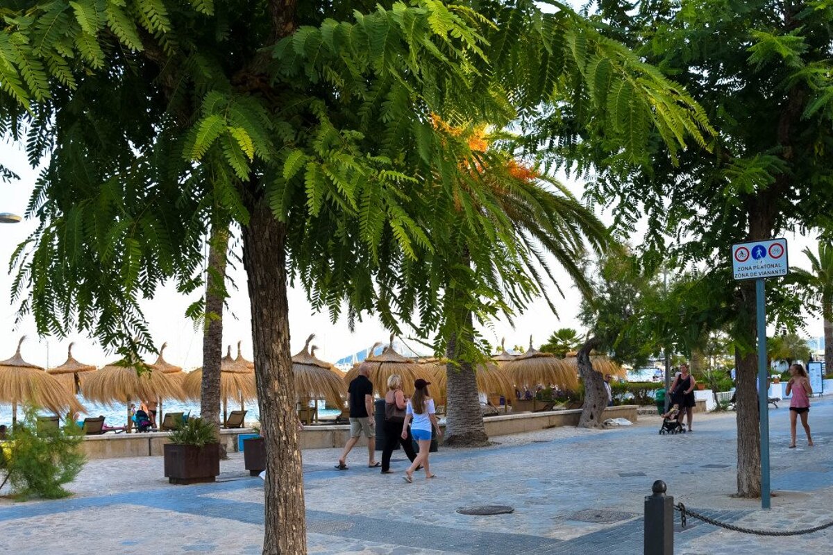
This easy stage is just over 6.5km and takes place on the plain that connects Pollença and Port de Pollença, a charming beach resort. Once at the bay, you can dip your tired feet in the sea and enjoy wonderful views towards the Cap de Formentor.

The variants
There are six variants from the GR221 route, named from A to F.
Variant A: S'Arracó
A short 9.3km walk that takes just under 3 hours, this path is part of the first stage of the Dry Stone Route and deviates slightly from the regular trail through rocky landscapes and Mediterranean forests.
Variant B: Galatzó
Starting at Es Capdellá and finishing in Estellencs, this route takes just over 5 hours for almost 16km, under the Puig de Galatzó mountain. The footpath crosses the 17th-century Galatzó estate and summits the Coll des Quer, a 700m mountain pass.
Variant C: Calvià
Beginning in the centre of Calvià, this route takes on hillsides covered in pines and olive trees, through the village of Galilea to end in Puigpunyent, for a total of 9km in just under 3 hours.
Variant D: Castell d'Alaró
Well worth the detour from the Tossals Verd refuge is this path that, for almost 18km and 5.5 hours, takes walkers to the Castell de Alaró, on the Puig d'Alaró mountain. First recorded in the year 902, the castle was occupied until 1741, watching over the mountain passes in the Tramuntana. The variant ends in the town of Orient.
Variant E: Sa Costera
For those who wish to get closed to the coastline, this is the route. From Binibassí, the path visits Cala Tuent as well as the picturesque town of Fornalutx and the farmsteads of Sa Costera, a smuggling hot spot in its heyday, and Balitx d'Amunt which dates back to the 13th century. Taking just under 5 hours, it comprises of almost 15km of footpaths.
Variant F: Pas Llis
The last of the detours takes hikers from Cúber to the Tossals Verd refuge via Pas Llis for almost 5km and 2 hours. After travelling along the foot of the Puig Major, Mallorca's highest peak at 1445m, it enters the plains of Pla de Mallorca.

The refuges
All along the Ruta de Pedra en Sec, there are mountain refuges where hikers can spend the night. All of the stages start and end at one of them, making it really easy to plan your journey. They all have communal dormitories, with a few offering smaller bedrooms and offer meals, toilets, showers with hot water and heating. You'll need to pay a fee if you also want to use their bed linen and towels (not available at the Coma d'en Vidal refuge). There is also a hostel in the Castell d'Alaró for those choosing to do Variant D.
The Coma d'en Vidal, Muleta, Tossals Verds and Son Amer refuges can be booked online in advance on the Consell de Mallorca website or by phone +34 971 173 700. Online booking is also available for the Can Boi refuge, the Pont Romà refuge and the Castell d'Alaró Guesthouse.
More inspiration...
Several local companies offer guided tours of the Dry Stone Route, the perfect choice for a hassle-free experience in which everything is organised. You only need to show up in your best hiking boots and adventurous mindset.
